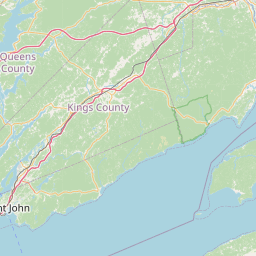
Latitude and longitude of East Branch Penobscot River
- Nearby Millinocket, United States
Satellite map of East Branch Penobscot River
The East Branch Penobscot River is a 75.3-mile-long (121.2 km) tributary of Maine's Penobscot River.
Latitude: 45° 36' 32.40" N
Longitude: -68° 32' 2.40" W


Leaflet | © OpenStreetMap contributors