Latitude and longitude of East Millinocket (CDP), Maine
- Nearby Millinocket, United States
Satellite map of East Millinocket (CDP), Maine
East Millinocket is a census-designated place (CDP) consisting of the main settlement in the town of East Millinocket in Penobscot County, Maine, United States.
Latitude: 45° 37' 23.99" N
Longitude: -68° 34' 13.19" W
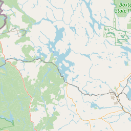

Leaflet | © OpenStreetMap contributors