Latitude and longitude of Cambria Iron Company
- Nearby Johnstown, Pennsylvania, United States
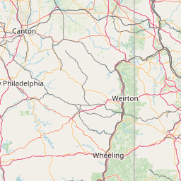
Satellite map of Cambria Iron Company
Cambria Iron Company is a former company, and also is the name of a National Historic Landmark located in Johnstown, Pennsylvania. The company was founded in 1852 and made many important contributions to the iron and steel industry. William Kelly (inventor) implemented many of his iron and steel technology advances at this location.
Latitude: 40° 20' 9.60" N
Longitude: -78° 55' 22.80" W
Nearest city to this article: Johnstown, Pennsylvania
Read about Cambria Iron Company in the Wikipedia Satellite map of Cambria Iron Company in Google Maps


Leaflet | © OpenStreetMap contributors