Latitude and longitude of General William J. Fox Airfield
- Nearby Rosamond, California, United States
Satellite map of General William J. Fox Airfield
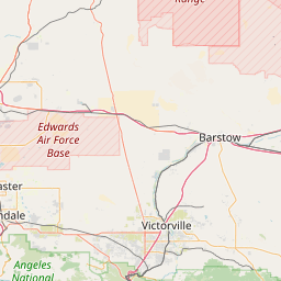
General William J. Fox Airfield (IATA: WJF, ICAO: KWJF, FAA LID: WJF) is a county owned, public airport in Los Angeles County, California, five miles northwest of Lancaster, California.
Latitude: 34° 44' 16.65" N
Longitude: -118° 13' 4.25" W
Nearest city to this article: Lancaster, California
Read about General William J. Fox Airfield in the Wikipedia Satellite map of General William J. Fox Airfield in Google Maps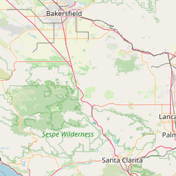


Leaflet | © OpenStreetMap contributors