Latitude and longitude of Mount Poso Oil Field
- Nearby Delano, California, United States
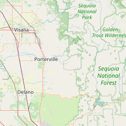
Satellite map of Mount Poso Oil Field
The Mount Poso Oil Field is a large oil and gas field in the lower foothills of the Sierra Nevada in Kern County, California, United States. Discovered in 1926, and relatively close to exhaustion with less than three percent of its original oil remaining, it is the 21st largest field in California by total ultimate oil recovery, having a cumulative production of close to 300 million barrels (48,000,000 m3).
Latitude: 35° 35' 49.92" N
Longitude: -118° 57' 47.52" W
Nearest city to this article: McFarland, California
Read about Mount Poso Oil Field in the Wikipedia Satellite map of Mount Poso Oil Field in Google Maps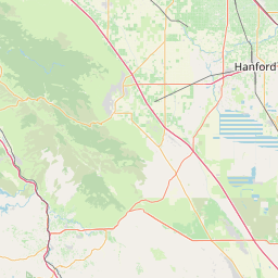


Leaflet | © OpenStreetMap contributors