Latitude and longitude of Pixley National Wildlife Refuge
- Nearby Delano, California, United States
Satellite map of Pixley National Wildlife Refuge
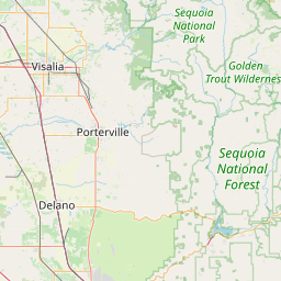
Pixley National Wildlife Refuge is located 35 miles (56 km) south of Tulare, California and 45 miles (72 km) north of Bakersfield in the San Joaquin Valley.
Latitude: 35° 55' 1.19" N
Longitude: -119° 21' 26.39" W
Nearest city to this article: Earlimart
Read about Pixley National Wildlife Refuge in the Wikipedia Satellite map of Pixley National Wildlife Refuge in Google Maps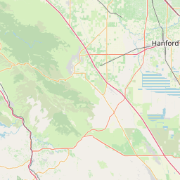


Leaflet | © OpenStreetMap contributors