Latitude and longitude of La Huerta, New Mexico
- Nearby Carlsbad, New Mexico, United States
Satellite map of La Huerta, New Mexico
La Huerta, formerly known as Carlsbad North, is a census-designated place (CDP) in Eddy County, New Mexico, United States.
Latitude: 32° 27' 2.39" N
Longitude: -104° 13' 22.20" W
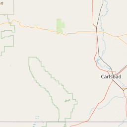
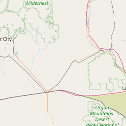

Leaflet | © OpenStreetMap contributors