Latitude and longitude of Christian Brothers High School (Sacramento, California)
- Nearby Sacramento, United States
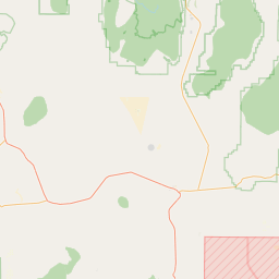
Satellite map of Christian Brothers High School (Sacramento, California)
Christian Brothers High School is a private, Roman Catholic, college-preparatory high school in Sacramento, California.
Latitude: 38° 32' 5.99" N
Longitude: -121° 27' 29.39" W
Nearest city to this article: Parkway, California
Read about Christian Brothers High School (Sacramento, California) in the Wikipedia Satellite map of Christian Brothers High School (Sacramento, California) in Google Maps


Leaflet | © OpenStreetMap contributors