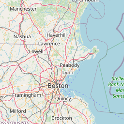
Latitude and longitude of Submarine mines in United States harbor defense
- Nearby Rockland, Massachusetts, United States
Satellite map of Submarine mines in United States harbor defense
The modern era of defending American harbors with submarine mines (originally referred to as "torpedos") began in the post-Civil War period.
Latitude: 42° 19' 45.80" N
Longitude: -70° 57' 29.84" W


Leaflet | © OpenStreetMap contributors