Latitude and longitude of Oyster River (New Hampshire)
Satellite map of Oyster River (New Hampshire)
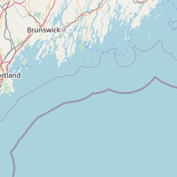
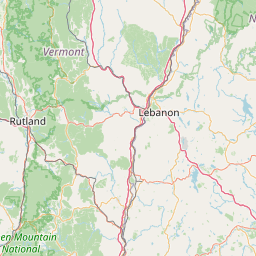
The Oyster River is a 17-mile-long (27 km) river in Strafford County, southeastern New Hampshire, United States. It rises in Barrington, flows southeast to Lee, then east-southeast in a serpentine course past Durham to meet the entrance of Great Bay into Little Bay. The bays are tidal inlets of the Atlantic Ocean, to which they are connected by a tidal estuary, the Piscataqua River.
Latitude: 43° 07' 10.20" N
Longitude: -70° 51' 32.99" W
Nearest city to this article: Durham
Read about Oyster River (New Hampshire) in the Wikipedia Satellite map of Oyster River (New Hampshire) in Google Maps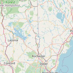


Leaflet | © OpenStreetMap contributors