Latitude and longitude of Rock Island Bridge (Kansas City, Kansas)
- Nearby North Kansas City, United States
Satellite map of Rock Island Bridge (Kansas City, Kansas)
The Rock Island Bridge in Kansas City, Kansas is a rail crossing of the Kansas River. It connects the Armourdale, Kansas to West Bottoms.
Latitude: 39° 05' 27.96" N
Longitude: -94° 36' 31.32" W
Nearest city to this article: Kansas City
Read about Rock Island Bridge (Kansas City, Kansas) in the Wikipedia Satellite map of Rock Island Bridge (Kansas City, Kansas) in Google Maps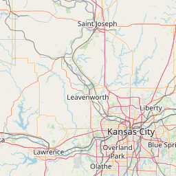


Leaflet | © OpenStreetMap contributors