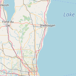
Latitude and longitude of National Register of Historic Places listings in Ozaukee County, Wisconsin
- Nearby Milwaukee, United States
Satellite map of National Register of Historic Places listings in Ozaukee County, Wisconsin
Buildings, sites, structures, districts, and objects in Ozaukee County listed on the National Register of Historic Places
Latitude: 43° 15' 34.20" N
Longitude: -87° 57' 25.19" W
Nearest city to this article: Thiensville
Read about National Register of Historic Places listings in Ozaukee County, Wisconsin in the Wikipedia Satellite map of National Register of Historic Places listings in Ozaukee County, Wisconsin in Google Maps

Leaflet | © OpenStreetMap contributors