Latitude and longitude of Deer View, California
Satellite map of Deer View, California
Deer View is an area within the Eldorado National Forest in El Dorado County, California. It is located 7.25 miles (12 km) northwest of Pollock Pines, at an elevation of 3323 feet (1013 m).
Latitude: 38° 50' 21.59" N
Longitude: -120° 40' 2.39" W
Nearest city to this article: Pollock Pines
Read about Deer View, California in the Wikipedia Satellite map of Deer View, California in Google Maps


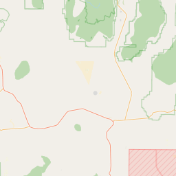

Leaflet | © OpenStreetMap contributors