Latitude and longitude of Oliver, California
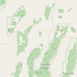
Satellite map of Oliver, California
Oliver is a former settlement in Yuba County, California, USA. It was on the Western Pacific Railroad 1 mile (1.6 km) south of Marysville, at an elevation of 52 feet (16 m). It still appeared on maps in 1952.
Latitude: 39° 07' 34.80" N
Longitude: -121° 35' 15.59" W
Nearest city to this article: Linda, California
Read about Oliver, California in the Wikipedia Satellite map of Oliver, California in Google Maps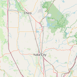

Leaflet | © OpenStreetMap contributors