Latitude and longitude of Yuba County Airport
Satellite map of Yuba County Airport
Yuba County Airport (IATA: MYV, ICAO: KMYV, FAA LID: MYV) is a county owned airport in Yuba County, California, three miles southeast of Marysville, California.
Latitude: 39° 05' 31.19" N
Longitude: -121° 34' 6.81" W
Nearest city to this article: Olivehurst
Read about Yuba County Airport in the Wikipedia Satellite map of Yuba County Airport in Google Maps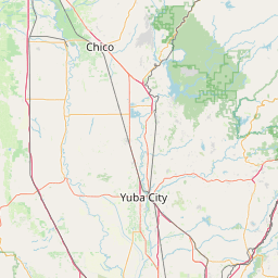
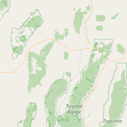

Leaflet | © OpenStreetMap contributors