Latitude and longitude of Sheridan, Placer County, California
Satellite map of Sheridan, Placer County, California
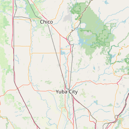
Sheridan is a census-designated place in Placer County, California, United States. It is located at the western edge of the county, along State Route 65. Sheridan is 7.5 miles (12.1 km) northwest of Lincoln. Its ZIP code is 95681 and area code 530. The elevation is 112 feet (34 m).
Latitude: 38° 58' 46.62" N
Longitude: -121° 22' 31.84" W

Leaflet | © OpenStreetMap contributors