Latitude and longitude of John F. Kennedy High School (Denver, Colorado)
- Nearby Englewood, Colorado, United States
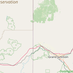
Satellite map of John F. Kennedy High School (Denver, Colorado)
John F. Kennedy High School (also known as "Kennedy" or "JFK") is a public secondary school located in the Bear Valley neighborhood on the southwest side of Denver.
Latitude: 39° 39' 52.08" N
Longitude: -105° 04' 2.20" W
Nearest city to this article: Sheridan, Colorado
Read about John F. Kennedy High School (Denver, Colorado) in the Wikipedia Satellite map of John F. Kennedy High School (Denver, Colorado) in Google Maps

Leaflet | © OpenStreetMap contributors