Latitude and longitude of Country Club Estates, Georgia
Satellite map of Country Club Estates, Georgia
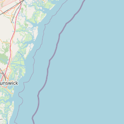
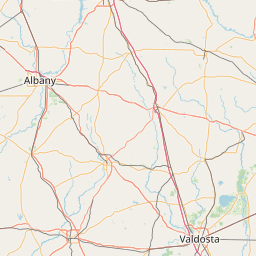
Country Club Estates is a census-designated place (CDP) in Glynn County, Georgia, United States. It is part of the Brunswick, Georgia Metropolitan Statistical Area. The population was 7,594 at the 2000 census.
Latitude: 31° 12' 24.60" N
Longitude: -81° 28' 4.19" W
Nearest city to this article: Country Club Estates, Georgia
Read about Country Club Estates, Georgia in the Wikipedia Satellite map of Country Club Estates, Georgia in Google Maps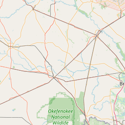


Leaflet | © OpenStreetMap contributors