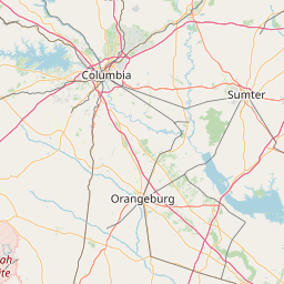
Latitude and longitude of National Register of Historic Places listings in Calhoun County, South Carolina
Satellite map of National Register of Historic Places listings in Calhoun County, South Carolina
This is a list of the National Register of Historic Places listings in Calhoun County, South Carolina.
Latitude: 33° 49' 29.99" N
Longitude: -80° 59' 27.59" W
Nearest city to this article: Oak Grove, South Carolina
Read about National Register of Historic Places listings in Calhoun County, South Carolina in the Wikipedia Satellite map of National Register of Historic Places listings in Calhoun County, South Carolina in Google Maps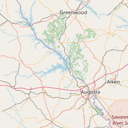


Leaflet | © OpenStreetMap contributors