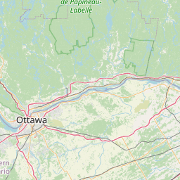
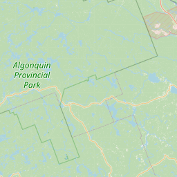
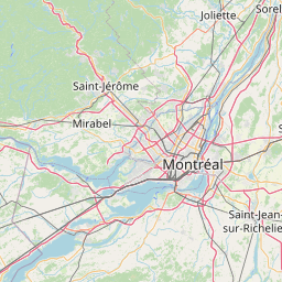
Satellite map of List of crossings of the Ottawa River
This is a list of bridges, dams, and ferries on the Ottawa River, proceeding stream upwards from the Saint Lawrence River, with the year in which they were opened.
Latitude: 45° 25' 28.79" N
Longitude: -75° 42' 10.19" W
Nearest city to this article: Ottawa
Read about List of crossings of the Ottawa River in the Wikipedia Satellite map of List of crossings of the Ottawa River in Google Maps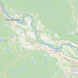

Leaflet | © OpenStreetMap contributors