Latitude and longitude of King's University College (University of Western Ontario)
Satellite map of King's University College (University of Western Ontario)
King's University College (locally known as "King's College" or simply "King's") is a Roman Catholic, co-educational, liberal arts college located in London, Ontario, Canada.
Latitude: 43° 00' 25.39" N
Longitude: -81° 15' 16.71" W
Nearest city to this article: London
Read about King's University College (University of Western Ontario) in the Wikipedia Satellite map of King's University College (University of Western Ontario) in Google Maps

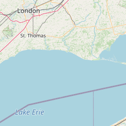


Leaflet | © OpenStreetMap contributors