Latitude and longitude of Port au Port West-Aguathuna-Felix Cove
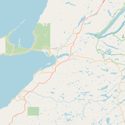
- Nearby Stephenville, Canada
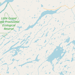
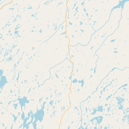
Satellite map of Port au Port West-Aguathuna-Felix Cove
Port au Port West-Aguathuna-Felix Cove is a small town located on the Port au Port Peninsula of the Island of Newfoundland, Canada.
Latitude: 48° 33' 22.19" N
Longitude: -58° 46' 0.59" W
Nearest city to this article: Stephenville
Read about Port au Port West-Aguathuna-Felix Cove in the Wikipedia Satellite map of Port au Port West-Aguathuna-Felix Cove in Google Maps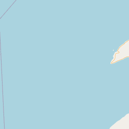


Leaflet | © OpenStreetMap contributors