Latitude and longitude of St Mary's Anglican Girls' School
- Nearby East Fremantle, Australia
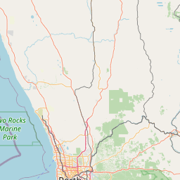
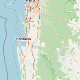
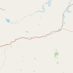
Satellite map of St Mary's Anglican Girls' School
St Mary's Anglican Girls' School is an independent, Anglican, day and boarding school for girls, located in Karrinyup, a suburb north of Perth, Western Australia.
Latitude: -31° 52' 37.20" S
Longitude: 115° 45' 54.00" E
Nearest city to this article: Trigg
Read about St Mary's Anglican Girls' School in the Wikipedia Satellite map of St Mary's Anglican Girls' School in Google Maps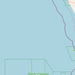


Leaflet | © OpenStreetMap contributors