Satellite map of Rottnest Island shipwrecks
Since the first Europeans visited the west coast of Australia in the 17th century, Rottnest Island has seen numerous shipwrecks. The 11 kilometre long and 4.5 km wide island is surrounded by hidden and partly exposed reefs whilst being buffeted by nor' westerly winter gales as well as very strong sou' west summer sea 'breezes'.
Latitude: -32° 00' 0.00" S
Longitude: 115° 30' 59.99" E
Nearest city to this article: Mosman Park
Read about Rottnest Island shipwrecks in the Wikipedia Satellite map of Rottnest Island shipwrecks in Google Maps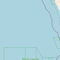


Leaflet | © OpenStreetMap contributors