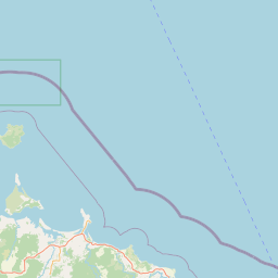
Satellite map of Rocky Cape National Park
Rocky Cape National Park is a national park on the North West Coast of Tasmania, Australia. It is located at a geographical headland and surrounds the town of Sisters Beach.
Latitude: -40° 53' 35.39" S
Longitude: 145° 32' 5.39" E
Nearest city to this article: Wynyard
Read about Rocky Cape National Park in the Wikipedia Satellite map of Rocky Cape National Park in Google Maps


Leaflet | © OpenStreetMap contributors