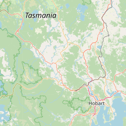
Satellite map of Boyer, Tasmania
Boyer is a town on the eastern side of the River Derwent Tasmania, Australia, opposite and slightly downstream of New Norfolk. It is named after a family who first settled in the area in the early 19th century. It is the site of Australian Newsprint Mills' plant in Tasmania.
Latitude: -42° 46' 19.79" S
Longitude: 147° 05' 34.20" E
Nearest city to this article: New Norfolk
Read about Boyer, Tasmania in the Wikipedia Satellite map of Boyer, Tasmania in Google Maps


Leaflet | © OpenStreetMap contributors