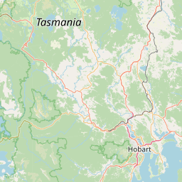
Satellite map of Copping, Tasmania
Copping is a small township and agricultural district in the south-east of Tasmania between Dunalley and Sorell. Part of the Bream Creek district, it was named after Captain Richard Copping, who purchased a property here from George Moore in 1860 upon which he settled three of his half-brothers as tenant farmers.
Latitude: -42° 48' 59.99" S
Longitude: 147° 47' 59.99" E


Leaflet | © OpenStreetMap contributors