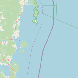
Satellite map of Lauderdale, Tasmania
Lauderdale is a town on the outskirts of Hobart, capital of Tasmania, Australia. The population of Lauderdale is approximately 2,388 (2006 census). It is in the local government area of City of Clarence. The town is situated on the eastern side of a thin Isthmus that connects the South Arm peninsula to the mainland. It faces Ralphs Bay, and the majority of Lauderdale's population live along Roches Beach, which faces Frederick Henry Bay.
Latitude: -42° 54' 23.99" S
Longitude: 147° 29' 20.39" E
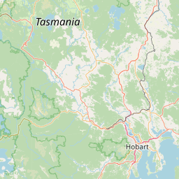


Leaflet | © OpenStreetMap contributors