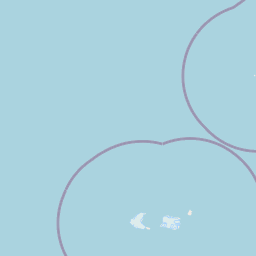
Latitude and longitude of Cook Island, South Sandwich Islands
Satellite map of Cook Island, South Sandwich Islands
Cook Island is the central and largest island of Southern Thule, part of the South Sandwich Islands in the far south Atlantic Ocean.
Latitude: -59° 26' 59.99" S
Longitude: -27° 09' 60.00" W


Leaflet | © OpenStreetMap contributors