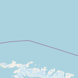
Latitude and longitude of Gulbrandsen Lake
Satellite map of Gulbrandsen Lake
Gulbrandsen Lake is a lake 0.5 miles (0.8 km) long lying north of Neumayer Glacier in South Georgia. It is now an empty basin; the moraine and or ice dam formed by the Neumeyer Glacier no longer contains this lake. It was charted and named "White City" by the British expedition under Ernest Shackleton, 1921–22, but this name is considered unsuitable and has never been used locally.
Latitude: -54° 11' 60.00" S
Longitude: -36° 43' 59.99" W


Leaflet | © OpenStreetMap contributors